The i-Run team says
A reliable source of information
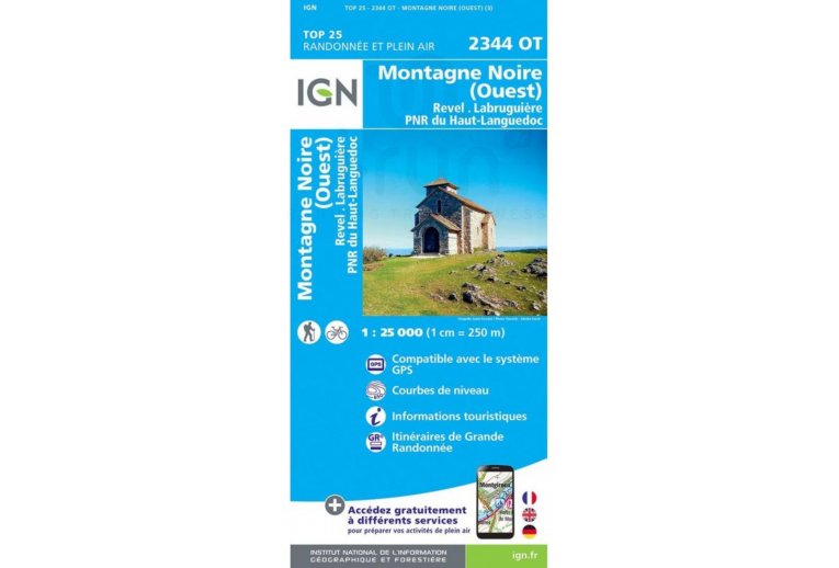
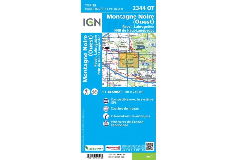
An essential element for the smooth running of your escapades, the IGN Map Montagne Noire West Revel Labrugui?re Haut-Languedoc Regional National Park 2344OT quickly finds its place in your backpack. A true mine of information, it allows you to organize your next itineraries, ensuring that you miss no detail.
Produced by the National Geographic Institute, it lists a multitude of details existing in the field: communication routes down to the smallest path, constructions up to the shed, woods, isolated tree, river, spring... Not to mention the representation of the relief by contour lines. The marked trails and the tourist information are also represented.
Covered municipalities:
Miraval-Cabard?s, Les Cammazes, Aiguefonde, Massaguel, Dourgne, Aussillon, Verdalle, Blan, Arfons, Soual, Laprade, Lab?c?de-Lauragais, Nav?s, Escoussens, Viviers-l?s-Montagnes, Palleville, Lescout, Saint-Amancet, Cahuzac, Les Brunels, Lempaut, Lagar, Montagne Noire (west), Revel, Labrugui?re.
Places to discover:
Haut-Languedoc Regional Natural Park, St-Ferr?ol Basin, Lampy Basin, Les Cammazes Lake, La Galaube Lake, Montaud Forest, Montagne Noire State Forest, Berniquaut Spur, Montagne Noire, St-Beno?t, Calel Cave, Picarel Menhir, Ch?teau du Gu?, Malamort Waterfall.
Key points of the IGN Map Montagne Noire West Revel Labrugui?re Haut-Languedoc Regional National Park 2344OT
- Series: TOP25
- Scale: 1/25,000 (1 cm = 250 m)
- Departments: Haute-Garonne (31), Hautes-Pyr?n?es (65) and Gers (32)
- Publication date: 19/03/2019
- Compatible with GPS system
- Contour lines
- Tourist information
- Long-distance hiking routes
- Folded map dimensions (in mm): 110 x 240
- Unfolded map dimensions (in cm): 96 x 132
- Weight: 94 g

