


Julbo
Whoops Spectron 3

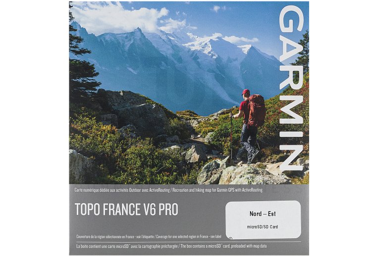
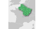
A route adapted to the current activity (hiking, mountaineering, cycling) is provided, in addition to the possibility of adjusting the difficulty level. The routes for cycling and walking are displayed in different colors.


